Dashing States in the Central Time Zone!
How good are you at identifying states on the map?

0:00
How many states border Tennessee?

Six

Seven

Eight
Tennessee and Missouri are the only 2 states that border 8 other states. They are the two states with the most border states!
0:00
Is the state in red Iowa or Missouri?
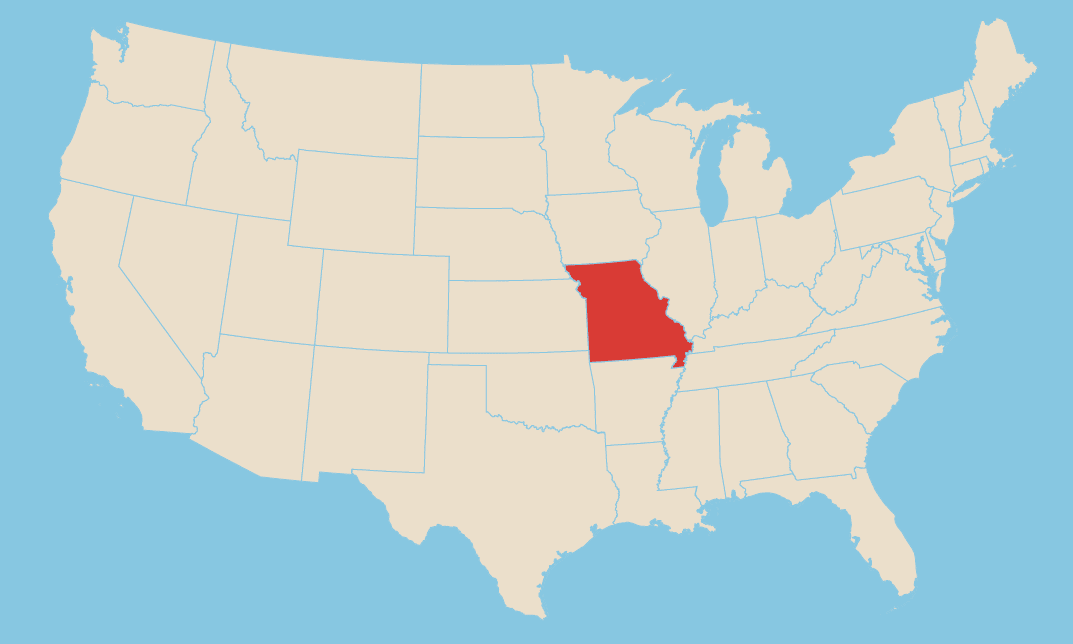
Iowa
Missouri
0:00
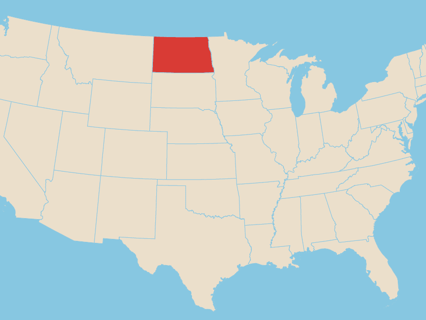
Is the state in red ranked 39th or 40th in Statehood?
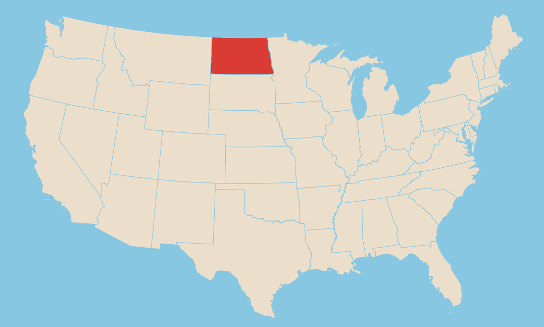
39th
40th
Fun fact: both North and South Dakota became states on the same day, but North Dakota came in 1st on November 2, 1889 so it is the 39th state. South Dakota is the 40th state. Some say a coin toss decided which was 39th and which was 40th.
0:00
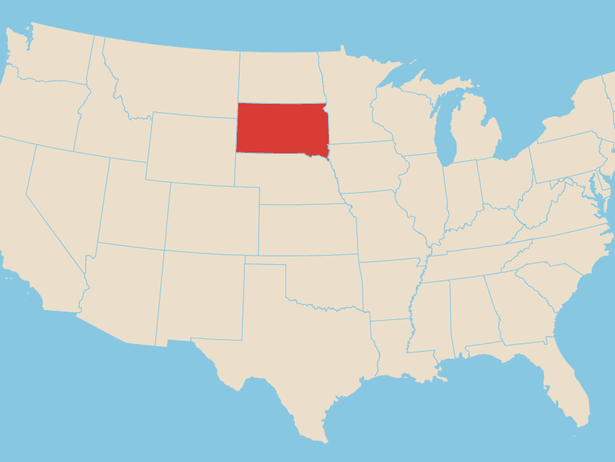
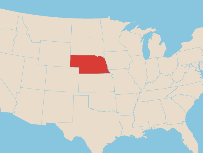
Is the state in red Kansas or Nebraska?
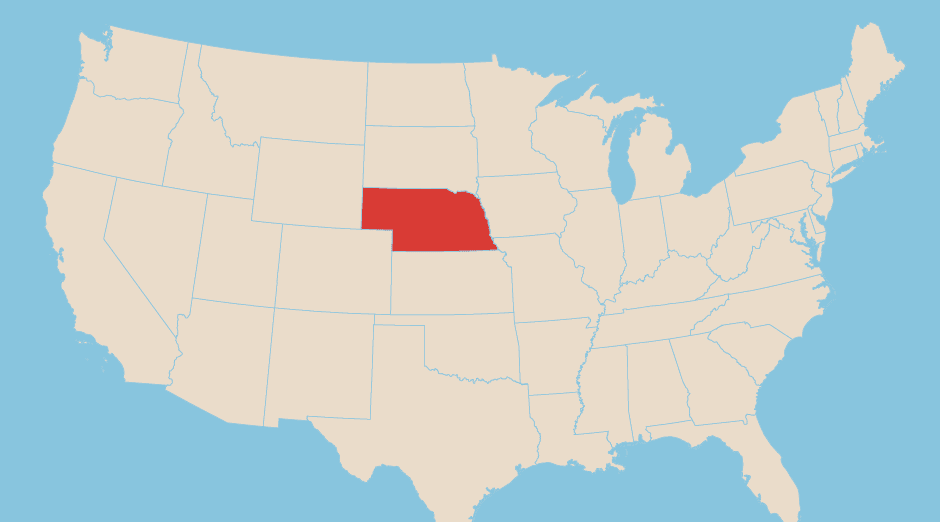
Kansas
Nebraska
Nebraska is right underneath South Dakota.
0:00
Is the state in red Arkansas or Louisiana?
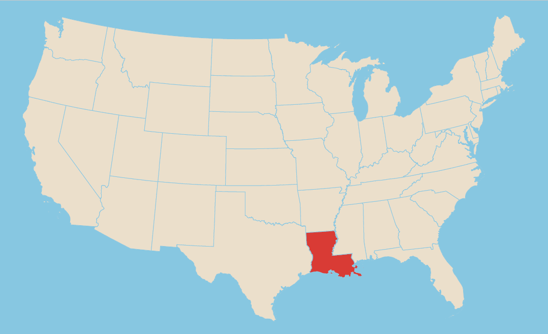
Arkansas
Louisiana
Louisiana is the state that looks like a boot.
0:00
Which state is #2 in the country in both size and population?

Illinois
Texas
0:00
Is the state in red Minnesota or Wisconsin?
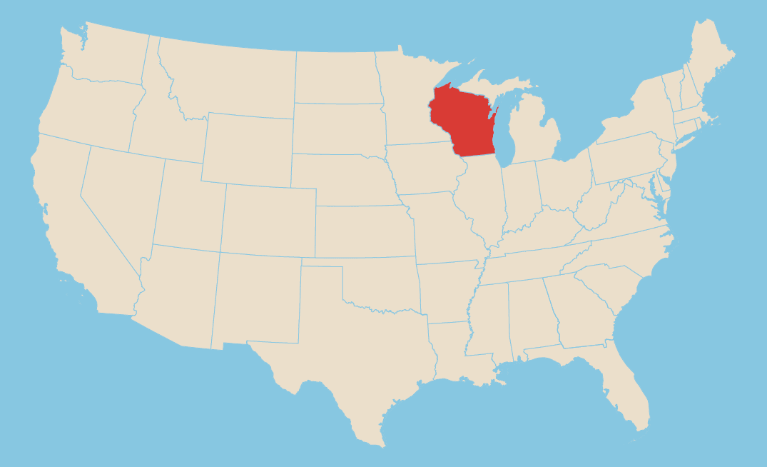
Minnesota
Wisconsin
0:00
Which state is bigger in size?
Map 1
Map 2
Map 1: North Dakota (19th in size)
Map 2: South Dakota (17th in size)
Map 2: South Dakota (17th in size)
0:00
Which one of these states is Illinois?
Map 1
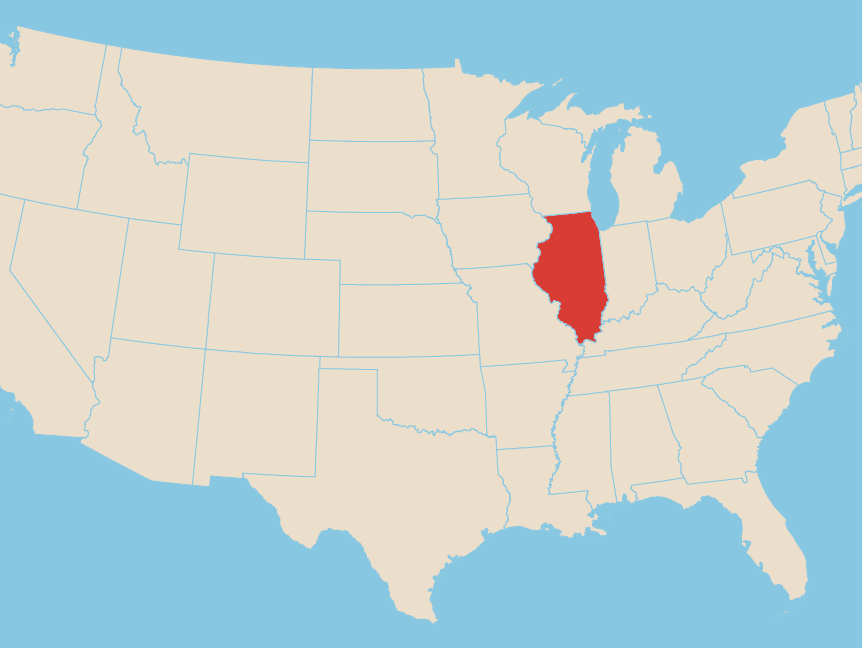
Map 2
Map 1: Indiana
Map 2: Illinois
Note that Indiana is mostly in the Eastern Time Zone so it is farther east (closer to the Atlantic Ocean) than Illinois.
Map 2: Illinois
Note that Indiana is mostly in the Eastern Time Zone so it is farther east (closer to the Atlantic Ocean) than Illinois.
0:00
Which state is ranked 46th in Statehood?
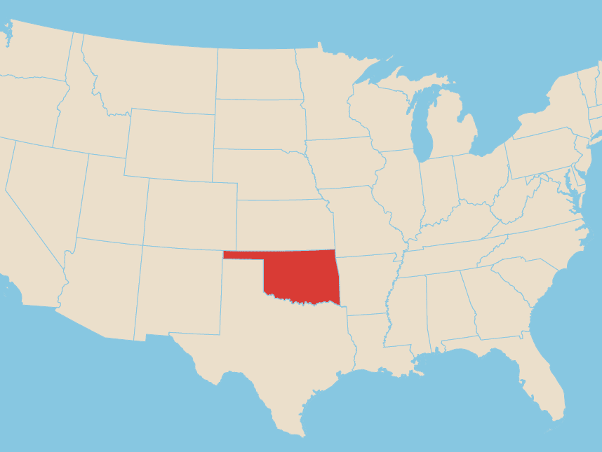
Map 1
Map 2
Map 1: Oklahoma - Ranked 46th in Statehood
Map 2: Nebraska: Ranked 37th in Statehood
Map 2: Nebraska: Ranked 37th in Statehood
0:00
You got {number correct}/{number of questions} correct answers
Want to give it another go?

0:00
You got {number correct}/{number of questions} correct answers
Well played.